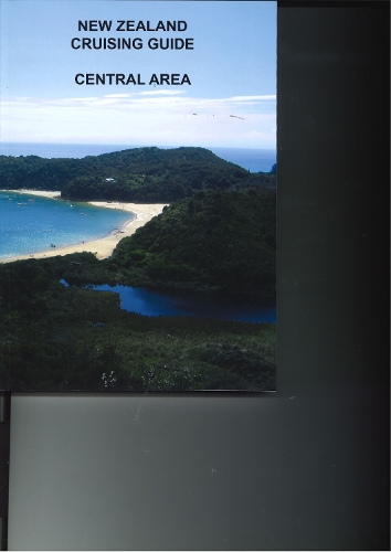
New Zealand Cruising Guide Central Area
Find your copy...
Synopsis
This book covers the area from Cape Palliser to Farewell Spit. Within this area are the Marlborough Sounds and Tasman Bay with their popular and individually distinct characteristics. The Sounds are an area of great beauty with long inlets and steep hills rising usually to 600 metres but often up to 1,000 metres. It is an area described as a sheltered waterway but often winds are accelerated by the hills and blow at storm force. There is insufficient fetch to create a big sea by ocean standards but cruising boats will find such conditions uncomfortable and small craft may find it dangerous. Tasman Bay has a different beauty and a more settled weather pattern in which sea breezes predominate. There are beautiful golden sand beaches that shelve gently and the high hills are back from the foreshore. These differences in character require a different approach by the boatman to anchoring and selecting anchorages. This book is designed to aid the mariner in that respect. In the Sounds an open sandy beach is rare and will probably be of little use other than as a picnic area. Sand is caused by wave action that is caused by wind. Such bays typically have a foreshore area and a low saddle in the hills through which the wind funnels. This makes them wind traps and not recommended in any conditions. The better anchorages are those surrounded by hills of even height and particularly where there is a small cove into which the boat can be warped. The ferocity of wind gusts usually dictates use of stern lines so that boats can be pulled into the lee of cliffs or trees. The deep water close to shore makes this possible. The text indicates when stern lines should be used and where they are best placed. The Tasman Bay area is ringed with sandy beaches and has little depth of water close to shore. Swinging to an anchor in the middle of a bay is the norm rather than the exception and for the most part holding is good in sand and mud. The lack of steep hills close to shore means that winds are not accelerated and that the anchorages are relatively safe. This does not mean that the Tasman Bay anchorages do not get windy. They can become as rugged as the Sounds and one criticism of the area is that few anchorages can be described as 'all weather' (strength and direction). Queen Charlotte is considered by many as the most attractive part of the Sounds. There are many holiday homes and the most part is bush clad or now covered with pine plantations. Only Picton, The Grove Arm and parts of Endeavour Inlet have road access. The necessity to use water transport for the rest of the area adds its own special charm. The drawbacks are the increased number of people compared to other areas and the proximity to the Cook Strait area that results in higher wind strength. Pelorus Sound always has a magical sound to it and for boats based at Mana, Wellington and Picton a journey to this area can be a difficult hurdle. Pelorus is a very much larger waterway than Queen Charlotte Sound with long wide reaches. Seas in these reaches, particularly those lying east/west, can be extremely testing. There is road access to the greater part of Pelorus and some of the area is farmed. There are some pine plantations that may in time assist in reducing wind strength close to shore in some of the bays. Pelorus seems to have fewer safe anchorage spots per mile than Queen Charlotte Sound. The tidal rise and fall of up to four metres can be a problem in Pelorus for those used to Wellington and Queen Charlotte Sound's lesser one and a half metres. Tasman Bay roughly divides into the D'Urville area and the Abel Tasman National Park. D'Urville has similar geographic characteristics to the Sounds but with Tasman Bay's weather pattern. Many believe it to be the most beautiful part of this cruising area. The whole of Tasman Bay has a large tidal rise and fall (up to four metres) but there is little strength in the tidal currents except at the mouths of estuaries and in the French Pass area.